Key Points
- Storm Chandra has been named by the Met Office and is bringing strong winds, heavy rain and some hill snow across the UK on Tuesday 27 January 2026, with disruptive conditions expected in many regions.
- Multiple Met Office yellow and amber weather warnings for wind, rain and snow are in force, including yellow warnings that cover parts of northern England and Yorkshire.
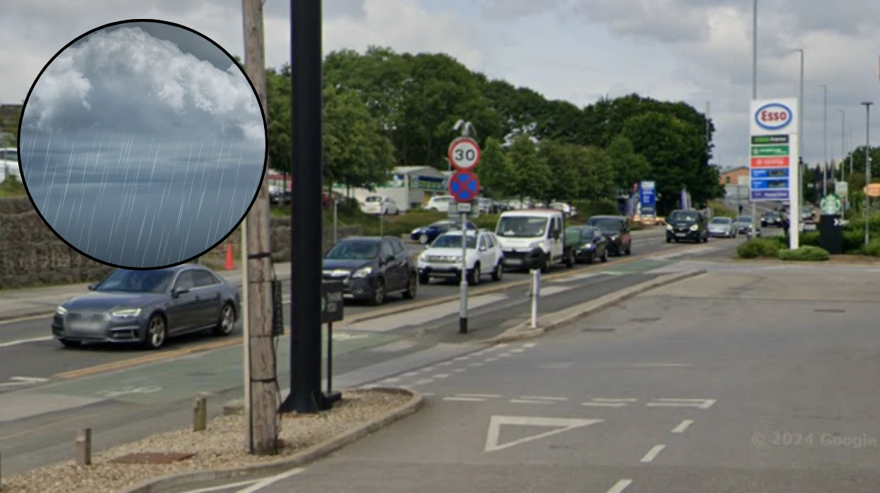
- In Leeds and West Yorkshire, conditions are forecast to be wet and windy through Tuesday, with the risk of heavy downpours, strong gusts and difficult travel at times.
- Met Office guidance indicates that the heaviest rain from Storm Chandra is focused further south, but northern England – including Yorkshire – will still see persistent rain and hill snow over the Pennines.
- Storm Chandra follows on from recent unsettled conditions and arrives over already saturated ground, increasing the risk of localised surface-water and river flooding in some parts of England.
- The Environment Agency has more than 100 flood warnings and almost 200 flood alerts in place across England and has warned drivers not to attempt to drive through flood water.
- Met Office meteorologist Alex Deakin said the storm would first bring heavy rain and a flooding risk before winds strengthen overnight and into Tuesday, with warnings in force for much of the day.
- Chief forecaster Paul Gundersen highlighted the potential for 70–80mph gusts in exposed southwestern areas and significant rain totals on saturated ground in parts of the South West, Wales and Southern England.
- For northern England and the Pennines, forecasters are signalling the risk of up to 20cm of snow over higher routes and several centimetres more widely, which could affect trans-Pennine links.
- National media and forecasters describe Storm Chandra as a “high impact” system, with travel disruption on roads, rail and air, school closures in some areas, and bridge and road restrictions where winds are strongest.
- In Leeds, regional outlets report fresh yellow Met Office warnings linked to Storm Chandra and are asking whether heavy rain and snow will hit the city, reflecting local concern about commuting conditions and public transport.
- Residents and travellers in and around Leeds are being urged to check the Met Office forecast and warning maps regularly through Tuesday and to allow extra time for journeys where possible.
Leeds (The Leeds Times) January 27, 2026 – Storm Chandra is bringing wet and windy conditions to Leeds today, with the Met Office forecasting periods of heavy rain, strong gusts and a continued risk of local disruption as the system tracks across the UK.
- Key Points
- How is Storm Chandra affecting Leeds hour by hour?
- What Met Office warnings are in place and do they cover Leeds?
- How severe are the winds and rain expected to get?
- What flooding and safety advice are authorities giving?
- Will snow and cold conditions affect Leeds and nearby areas?
- How long will Storm Chandra’s disruption last and what’s next for Leeds?
How is Storm Chandra affecting Leeds hour by hour?
Leeds is sitting on the northern flank of Storm Chandra’s main rain and wind core, which means the city faces a day of frequent showers, spells of heavier rain and blustery winds rather than the very worst of the conditions seen further south and west. According to the Met Office’s Leeds forecast page, Tuesday began with rain already in the vicinity and strengthening winds as the storm circulation moved in from the Atlantic.
While the Met Office’s public site presents the Leeds forecast in three-hour blocks rather than a strict hour‑by‑hour text breakdown, it highlights a wet and windy picture through the morning rush, with further rain and strong gusts into the afternoon and evening. As explained by Met Office presenter Alex Deakin in the official forecast video, Storm Chandra’s rain band pushes across the country overnight into Tuesday, followed by a period of stronger winds as the low pressure centre deepens.
In practical terms for Leeds, this pattern translates into:
- Early morning: Outbreaks of rain, low cloud and brisk winds, making for spray on roads and some surface water in prone spots.
- Late morning to early afternoon: Further pulses of rain or showers moving through on the storm’s northern edge, with gusty conditions on higher ground and exposed routes.
- Late afternoon and evening: Winds remain blustery, though the heaviest rain tends to ease compared with areas further south, leaving showers and a cooler, unsettled feel.
As reported by national forecasters at The Weather Outlook, Storm Chandra is bringing its heaviest rain to the south of the UK and its strongest winds in western areas, while snow is more likely over high ground in the north, including parts of the Pennines. That broader pattern is consistent with the Met Office’s regional guidance for northern England, which specifies windy weather with rain, turning to snow over hills before conditions slowly improve from the south and west.
What Met Office warnings are in place and do they cover Leeds?
The Met Office has issued nine separate weather warnings linked to Storm Chandra, covering large parts of the UK for wind, rain and snow on Tuesday. As summarised by reporters at Yahoo News UK, these include an amber warning for wind over eastern Northern Ireland and multiple yellow warnings stretching across southern England, southern Wales, Northern Ireland, Scotland and parts of northern England.
For Yorkshire and the wider north, these warnings focus on a combination of rain, strong winds and hill snow, reflecting the risk of difficult conditions on higher routes and exposed locations. Social media posts shared by Yorkshire-based outlets refer to a
“snow alert for Yorkshire”
and highlight that forecasters have issued ten warnings for Tuesday as Storm Chandra sweeps in.
As reported by the Met Office’s own forecast discussion, yellow warnings associated with Storm Chandra indicate the potential for transport disruption, difficult driving conditions, and possible power interruptions, even in areas outside the core amber zone. Within that framework, Leeds sits in the northern England zone where rain and wind are expected, with any snow risk mainly confined to higher ground to the west over the Pennines.
Residents are being urged to consult the Met Office’s interactive warning map on Tuesday to see the exact boundaries of each warning area and to check whether their specific postcode falls under a yellow or adjacent warning region. This targeted approach ensures people in Leeds can make informed decisions about travel and outdoor plans while Storm Chandra remains active.
How severe are the winds and rain expected to get?
Storm Chandra is classified by forecasters as a high‑impact system, with the potential to produce severe conditions where its strongest winds and heaviest rain intersect. In its national write‑up, The Weather Outlook notes that the heaviest rainfall is expected across southern parts of the UK, while the strongest winds are concentrated in western regions, with snow over high ground in the north.
As reported by Paul Gundersen, chief forecaster at the Met Office and quoted by Yahoo News UK, winds will initially ramp up across the Isles of Scilly, western Cornwall and south‑west Wales, still sensitive after earlier stormy weather, with gusts of 70–80mph possible in those exposed areas. Mr Gundersen also highlighted that heavy rain falling on already saturated ground in Dorset, southern parts of Devon, Somerset and Cornwall increases the risk of flooding and travel disruption.
By contrast, Leeds and West Yorkshire are expected to experience brisk to strong gusts rather than the very highest values outlined for western coastal regions. The Met Office’s regional forecast for northern England speaks of a “wet and windy” morning, with gales in exposed locations and snow over higher ground, before conditions gradually ease from the south and west later in the day.
Rainfall totals around Leeds are not flagged as being in the same 50–75mm range mentioned for some hills in south‑west England, but any additional rain still runs onto ground that has already seen repeated downpours. That background saturation supports the Environment Agency’s warning that surface‑water flooding impacts are “probable” in parts of England as Storm Chandra passes through.
What flooding and safety advice are authorities giving?
Flood risk is a major concern with Storm Chandra, particularly where heavy rain falls over saturated catchments and along vulnerable river systems. In a briefing reported by The Independent, Environment Agency flood duty manager Chris Wilding warned that “significant surface water flooding impacts are probable today and tomorrow in the south west of England”, with a significant risk of river flooding impacts following on.
Holly Evans, also writing for The Independent, notes that a severe flood warning – the highest category, indicating a danger to life – has been issued for the River Otter (Lower) at Ottery St Mary in Devon, underlining the seriousness of the situation for some communities directly in Storm Chandra’s path. In total, more than 100 flood warnings and around 193 lower‑level flood alerts are in force across England as the storm unfolds.
Separately, Yahoo News UK highlights road‑safety advice from motoring and breakdown services, including a reminder from an AC mobile and repairs leader, Nickender, that drivers should not attempt to drive through standing water unless they are absolutely sure it is shallow and safe. This echoes long‑standing guidance from the Environment Agency, which stresses that just 30cm of moving water can be enough to float a car.
For people in Leeds, those national messages translate into a simple, cautious approach: avoid driving through flood water, allow extra time for journeys in heavy rain, and check for any local flood alerts issued for West Yorkshire rivers. Commuters are also advised to check live updates from train operators and local councils in case any routes are affected by water on the line, fallen branches or high winds.
Will snow and cold conditions affect Leeds and nearby areas?
Snow is one of the key hazards on the northern edge of Storm Chandra, particularly over upland areas. As detailed by Yahoo News UK, the Met Office believes up to 20cm of snow could accumulate on high ground in the Pennines and south‑west Scotland, with up to 5cm possible more widely in northern areas under the right conditions.
The Met Office’s combined rain‑and‑snow warnings emphasise that heavy precipitation and strong winds coinciding with marginal temperatures can lead to quickly changing conditions, especially on higher routes. In its broader analysis, The Weather Outlook reinforces that the snow risk is focused on hills in the north, in contrast to rain‑dominated impacts further south.
For Leeds itself, lying at lower elevation than the Pennine summits, the main hazard is wet and windy weather, with any snow more likely over higher ground to the west and on trans‑Pennine corridors used by drivers and rail services. This pattern means city‑centre accumulations are less likely, but those travelling over hills – for work, freight or family reasons – should be prepared for wintry conditions.
Local Yorkshire outlets have been drawing attention to this risk by asking whether “heavy rain and snow” will hit Leeds as fresh yellow warnings linked to Storm Chandra are issued by the Met Office. Their coverage underscores public interest in how far the snow line will drop, and whether commuters and school‑run journeys in and around the city will be affected.
How long will Storm Chandra’s disruption last and what’s next for Leeds?
Storm Chandra’s most intense phase runs through Monday night and Tuesday, but unsettled conditions are expected to linger beyond the storm’s peak. Regional Met Office outlooks for northern England indicate that after Tuesday’s wet and windy spell, Wednesday should turn drier and brighter with some sunny intervals, albeit still on the cool side.
According to the extended guidance carried by Yahoo News UK, Thursday is forecast to start dull with fog, before brighter spells develop and another band of rain moves in overnight into early Friday. From Thursday to Saturday, the outlook remains generally unsettled, with periods of cloud, rain and showers continuing to move across the country.
For Leeds, this means that while Storm Chandra marks a notable peak in wind and rain, it is part of a wider run of Atlantic‑driven systems keeping conditions changeable, rather than an isolated event. Residents can therefore expect a gradual easing of the most disruptive elements after Tuesday, but should still prepare for further wet spells and breezy weather later in the week.
Meteorologists and agencies are encouraging the public to remain engaged with updated forecasts, warning maps and travel advice as the pattern evolves. For people in Leeds and across West Yorkshire, keeping a close eye on official channels throughout Storm Chandra’s passage – and in the days that follow – remains the safest and most practical way to navigate this spell of high‑impact winter weather.