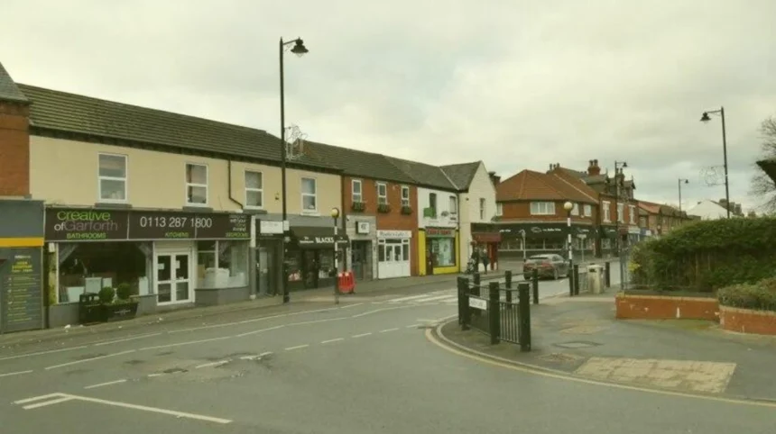
Garforth derives its name from Old Norse and Old English linguistic roots, translating to a river ford situated near a triangular plot of land. The settlement first appeared in the Domesday Book of 1086 under the spelling Gereford.
The etymological composition combines the Old Norse word gāra, meaning a triangular piece of land or a gore, with the word fōrd, denoting a river crossing. Historical documentation from the 11th century establishes the early administrative boundaries of the area within the Wapentake of Skyrack in the West Riding of Yorkshire. Archaeological excavations along the modern A1/M1 link road alignment and Cedar Ridge have uncovered tangible artifacts from Anglo-Saxon and Roman occupations, confirming long-term habitation predating the Norman conquest. The layout evolved from scattered agricultural hamlets into four distinct historic sub-sectors: East Garforth, Moor Garforth, Church Garforth, and West Garforth. As you explore the modern site, you are crossing land with a deep heritage. Read about the full Origins and Evolution of Early Yorkshire Settlements to understand its origins.
How did the Industrial Revolution shape Garforth?
The Industrial Revolution transformed Garforth from a collection of rural farming hamlets into a prominent West Yorkshire coal-mining center driven by the 1810 Enclosure Act and the powerful Gascoigne land-owning family.
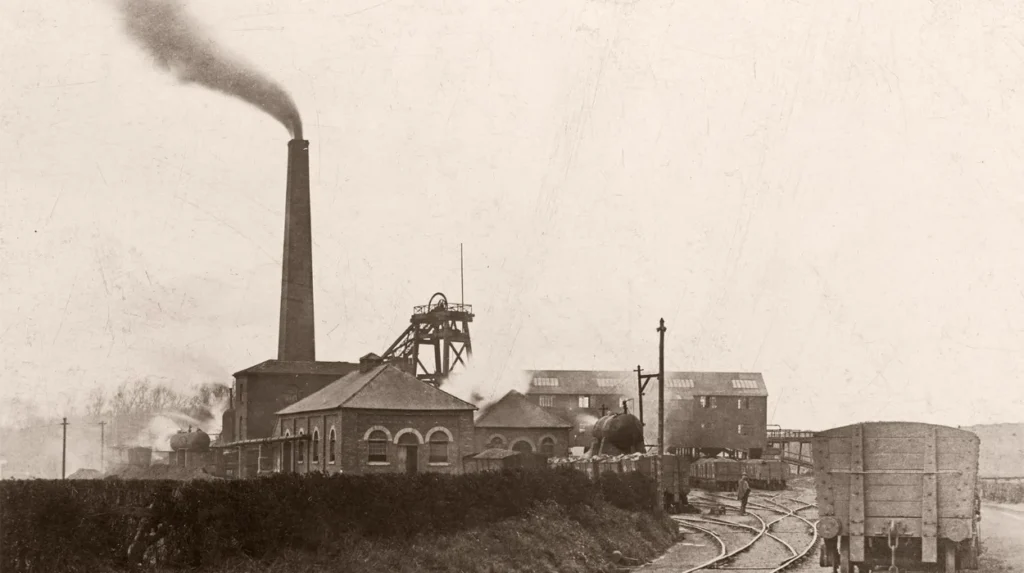
Extraction records trace commercial coal mining in the district back to 1262, but large-scale industrial output accelerated exponentially during the early 19th century. The passage of the Enclosure Act of 1810 transferred extensive mineral rights to private landowners, allowing the Gascoigne family of Parlington Hall to sink multiple deep-extraction shafts. Three primary collieries dominated the local landscape:
- Isabella Pit (operating from 1833 to 1925 in East Garforth)
- Sisters Pit (operating from 1843 to 1922 in Moor Garforth)
- Trench Pit (sunk in 1899 in Church Garforth)
These operations created specialized workers’ housing clusters, company-built welfare halls, and specific industrial infrastructure that permanently defined the layout of the town.
What role did railways play in the development of Garforth?
Railways catalyzed Garforth’s transition from an isolated extraction hub into an interconnected Victorian township by linking local collieries to regional markets via pioneering steam and horse-drawn freight lines.
In 1834, the Leeds and Selby Railway was constructed, establishing a vital station stop within the community. Concurrently, industrialist Richard Oliver Gascoigne engineered the Fly Line, a dedicated private railway network connecting the Sisters, Isabella, and Elizabeth pits to Aberford. This infrastructure transported extracted minerals and facilitated passenger transit for local school children and workers. The subsequent expansion of the mainline rail network cemented the town’s status as a strategic commuter settlement within the wider Leeds metropolitan economy.
Explore More Area Guide
Best Places in Garforth for a Relaxed Afternoon
Garforth Places to Explore: Leeds Local Guide 2026
What are the key architectural and historical landmarks in Garforth?
Garforth features notable historic structures including the Grade II listed St. Mary’s Church, the 19th-century Working Men’s Institute, and surrounding estate landmarks built by prominent local landowners.
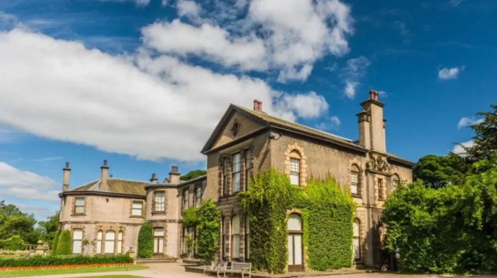
St. Mary’s Parish Church stands as the ecclesiastical anchor of Church Garforth, occupying a site documented in medieval records with the current structure erected in 1845. Another vital historical asset is the Garforth Working Men’s Club and Institution, constructed in 1865 by the Gascoigne family as a reward for miners who maintained continuous labor during regional industrial strikes. This institution housed the town’s first public library and hosted educational lectures. The surrounding landscape further incorporates proximity to historic stately homes such as Lotherton Hall and Temple Newsam, both integral components of the regional aristocratic estates that governed local employment and land use for centuries.
How does Garforth’s heritage influence its modern identity?
Modern Garforth functions as a thriving residential, commercial, and commuter hub for Leeds, retaining distinct architectural evidence of its coal-mining past within its street layouts and civic organizations.
The closure of the local collieries during the mid-20th century prompted a shift toward light manufacturing, automotive engineering, and service sector employment. Civic societies and local preservation initiatives actively protect historical archives, while traditional brass bands—such as the Garforth Brass and the Garforth Jubilee Band—perpetuate cultural traditions rooted in the Victorian era. Visitors exploring the area encounter a seamless blend of medieval land divisions, Victorian industrial worker terraces, and contemporary suburban developments that collectively document centuries of socio-economic evolution in West Yorkshire.
What is the origin of the name Garforth?
Garforth derives from Old Norse and Old English words meaning a river ford near a triangular piece of land. The name combines gāra (a triangular land feature or gore) with fōrd (a river crossing). The settlement was recorded as Gereford in the Domesday Book of 1086.