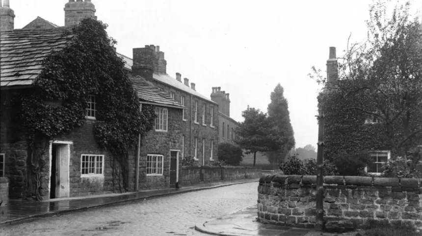
Researching the history of a building in Headingley involves connecting property records, maps, archives, planning documents and heritage sources. The area contains Victorian and Edwardian housing, institutional buildings, former industrial sites and historic landscapes that reflect the wider development of Leeds.
- What are heritage records and why are they important for historic property research?
- Where can you find official heritage information about a Headingley building?
- How do historic maps reveal the development of a property?
- How can census records help trace the people connected with a property?
- What property and land records can establish a building’s ownership history?
- How can planning and building records show changes to a historic property?
- What architectural evidence should you examine when researching an old building?
- How do local archives and historic photographs strengthen property research?
- How can you build an accurate timeline for a historic Headingley property?
- What common problems affect historic property research?
- Why does heritage property research remain valuable in Headingley?
Historic property research helps visitors, residents and researchers understand when a building was constructed, how it changed and who occupied or owned it. Reliable research depends on comparing several records rather than relying on a single source.
What are heritage records and why are they important for historic property research?
Heritage records are documents, maps, photographs, surveys and official databases that record the history, ownership, design and significance of places. For Headingley properties, these sources establish construction dates, architectural changes, former uses, occupants and relationships with the area’s wider development.
Heritage records preserve evidence about the built environment. They include official designations, archival documents and published historical material. Each source answers a different question about a property.
A building researcher often starts with its address. The address provides a route into maps, census records, planning files and local archive catalogues. Older records require additional information because street names, house numbers and administrative boundaries have changed over time.
Headingley developed rapidly during the nineteenth century as Leeds expanded. Agricultural land and rural estates were replaced by residential streets, commercial premises, places of worship and educational buildings. This growth created a substantial documentary record.
The principal heritage record types include historic maps, such as Ordnance Survey editions; population records, such as census returns; property records, such as deeds and valuation documents; and heritage records, such as listed building descriptions. Examples include the National Heritage List for England and the West Yorkshire Archive Service catalogues.
Historic England maintains the National Heritage List for England, which records nationally designated heritage assets. A listed building receives legal protection because of its special architectural or historic interest. The entry often provides a construction date, architectural description and details of important features.
Local archives hold records that are not available through national designation databases. These materials include estate papers, title documents, rate books, photographs and plans.
For visitors exploring Headingley, heritage research adds historical context to the modern streetscape. A familiar terrace, public building or former commercial property often has a documented history extending across several generations.
Where can you find official heritage information about a Headingley building?
Official information about a Headingley building is available through Historic England, Leeds City Council, the West Yorkshire Archive Service and national archive catalogues. These organisations provide records covering listed status, planning history, historic documents, maps, photographs and other evidence.
Historic England provides the starting point for checking whether a property is nationally designated. The National Heritage List for England contains entries for listed buildings, scheduled monuments, registered parks and gardens, and other protected heritage assets.
A listing entry is not a complete property history. It records the reasons for designation and describes the asset at the time of assessment. Researchers should treat it as one part of a wider evidence base.
Leeds City Council holds information relating to the local historic environment and the planning system. Planning records can document extensions, alterations, demolitions and changes of use. The availability of older applications depends on the age of the record and the authority’s archive arrangements.
The West Yorkshire Archive Service preserves records connected with the history of Leeds and the wider county. Its collections provide access to original documents that support detailed research into individual properties and neighbourhoods.
The National Archives catalogue provides another route to historical records. Government departments created records concerning taxation, land, census administration and other subjects that help researchers place a building within a national historical framework.
Researchers should record the source and date of every important finding. A property history becomes more reliable when every statement can be traced to an identifiable record.
How do historic maps reveal the development of a property?
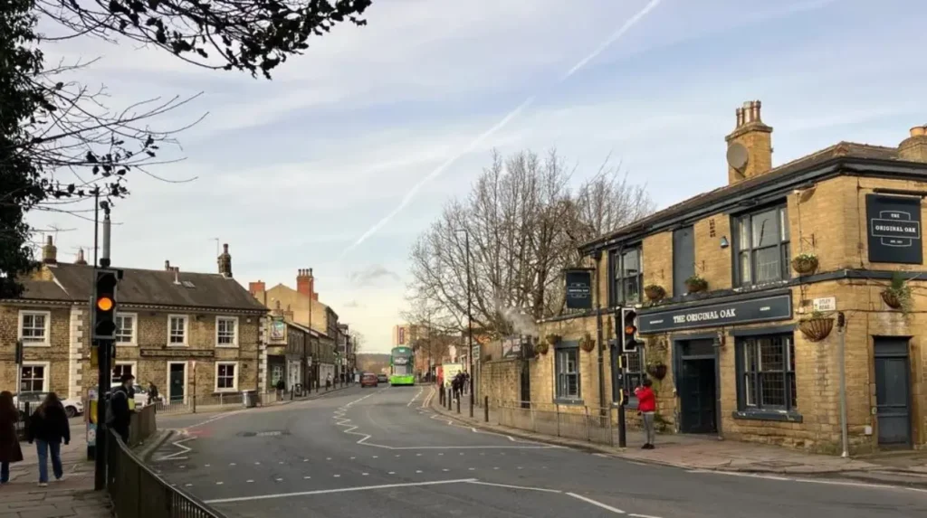
Historic maps show how land and buildings changed over time by recording streets, plots, structures and boundaries at specific dates. Comparing successive maps helps researchers identify construction periods, demolished buildings, altered boundaries and changes to the surrounding landscape.
Maps provide some of the strongest visual evidence in historic property research. A building that first appears on one map edition and remains visible on later editions has a defined documentary timeline.
Ordnance Survey mapping is particularly useful because successive editions recorded urban development in considerable detail. Large-scale maps often show individual building footprints, outbuildings, roads and plot boundaries.
Researchers should compare at least two map dates. For example, a property absent from an earlier edition but present on a later edition was constructed during the period between the two surveys. Other evidence is required to establish the exact construction date.
The National Library of Scotland provides access to extensive historic map collections, including georeferenced mapping that can be compared with modern locations. The map itself does not prove ownership or occupation. It establishes physical evidence about the site.
Estate maps provide another category of evidence. Examples include maps created for landowners, estates and development schemes. These documents can reveal earlier field names, ownership patterns and proposed development.
Street development also helps explain an individual building. A property rarely developed in isolation. Its design, plot size and position often reflect a wider housing scheme or land sale.
As you explore the modern site, you are crossing land with a deep heritage. Read about the full [Insert Anchor Text for History Article Here] to understand its origins.
How can census records help trace the people connected with a property?
Census records identify people living at an address at regular intervals and provide evidence about households, occupations and family structures. For historic property research, census returns connect physical buildings with the residents who occupied them during documented periods.
The United Kingdom census has recorded population information at ten-year intervals since 1801. Individual household returns from the nineteenth and early twentieth centuries provide detailed information for historical research.
The information recorded changed over time. Later nineteenth-century returns generally include names, ages, occupations, birthplaces and household relationships.
An address search does not always produce an immediate result. Historic census enumerators recorded properties according to their route, and house numbers or street names sometimes changed.
Researchers should examine neighbouring entries when an address is unclear. A sequence of properties can help identify the correct building.
Census evidence establishes occupation rather than ownership. A person listed at a property was usually resident there on the census date, but the record does not prove that the person owned the building.
The 1921 Census provides an important twentieth-century snapshot of households and employment. Access conditions for later census information are controlled by statutory closure periods.
Genealogical databases and archive services provide searchable access to many census records. Researchers should compare transcriptions with original images where available because handwritten names and addresses can be incorrectly indexed.
What property and land records can establish a building’s ownership history?
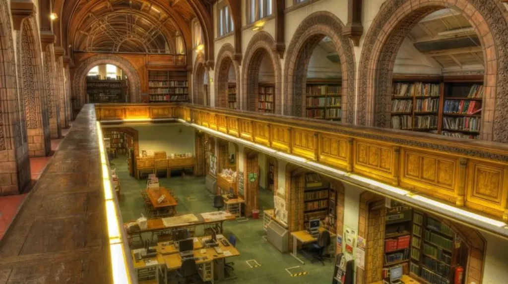
Property and land records establish legal and financial connections with a building through deeds, title records, valuation documents and estate papers. These sources identify owners, transactions, boundaries and land interests, although surviving evidence differs according to the property’s age and history.
Title records are an important source for modern ownership research. HM Land Registry maintains the register of land ownership in England and Wales. Registered title information provides evidence about the current legal estate and registered interests.
Older ownership research requires historical documents. Title deeds are legal records documenting transactions and property interests. A deed collection can contain conveyances, mortgages, leases and related documents.
The survival of deeds varies. A property does not have a single, uninterrupted set of historical documents in every case. Land registration and changes in legal practice also altered the records available to researchers.
Rate books and valuation records provide additional evidence. Local authorities used rates to raise money for public services. Historic records can identify occupiers and sometimes owners, property descriptions and rateable values.
Estate papers are especially important where a large landowner controlled development. These collections can include leases, plans and correspondence relating to individual plots.
Researchers should distinguish between legal ownership and occupation. The same building can have a landlord, a leaseholder and a resident at the same time.
How can planning and building records show changes to a historic property?
Planning and building records document formal changes to properties, including extensions, alterations, demolitions and changes of use. These records establish dated evidence about later development and help researchers separate original features from modifications introduced during the building’s history.
Planning applications create an official record when development requires permission or another form of planning consent. The records can include application forms, drawings, decision notices and supporting documents.
A historic building often changed several times. Common alterations include extensions, replacement windows, internal conversions and changes between residential and commercial use.
Building control records cover a separate regulatory process. Their availability and detail depend on the period and the surviving local authority records.
Listed buildings require additional heritage controls. Listed Building Consent is generally required for works affecting the special architectural or historic interest of a listed building. Planning permission and Listed Building Consent are separate legal processes.
Researchers should compare plans with the building as it exists today. A proposed alteration is not proof that work was completed. Completion certificates, later plans or physical evidence provide stronger confirmation.
Historic photographs also help identify changes. Images can show lost architectural features, former shopfronts and earlier street layouts.
What architectural evidence should you examine when researching an old building?
Architectural evidence helps identify a building’s construction period, original design and later alterations through its materials, plan, decorative features and structure. Physical inspection becomes most useful when it is compared with documentary records, historic maps, photographs and official descriptions.
A systematic inspection begins with the building’s overall form. Researchers should record the number of storeys, roof shape, building materials and relationship with neighbouring properties.
Brick, stone, slate and timber provide evidence about local construction practices. Material alone does not establish an exact date because buildings were repaired and altered.
Windows and doors require careful interpretation. Replacement features are common, particularly in older residential properties. Original openings, surviving frames and historic photographs provide stronger evidence than modern fittings.
Architectural styles also require documentary support. A building can contain features from different periods because extensions and renovations introduced later designs.
Researchers should look for documentary clues within the building. Examples include date stones, builder’s plaques, foundation stones and historic inscriptions.
Physical investigation must respect the building and its legal status. Listed buildings and protected structures require appropriate permissions before certain works take place.
How do local archives and historic photographs strengthen property research?
Local archives and historic photographs provide detailed evidence that national databases often do not contain. Archive collections can identify builders, owners and occupants, while photographs record former appearances, streetscapes and architectural features that have since changed or disappeared.
The West Yorkshire Archive Service is a central resource for research into Leeds history. Archive catalogues help researchers identify collections before arranging a visit or requesting further information.
Photographic collections are valuable for comparing past and present appearances. A photograph with a confirmed date provides evidence about the property at a specific point in time.
Researchers should check the image date, location and collection reference. Undated photographs require comparison with other evidence.
Local newspapers also provide property information. Reports can record construction projects, property sales, auctions, public meetings and changes affecting significant buildings.
Historic trade directories provide further evidence about commercial properties and residents. Directories commonly list businesses, professionals and institutions by location.
A strong property history uses several archival sources together. A directory identifies a business, a photograph confirms the premises and a map establishes the building’s location.
How can you build an accurate timeline for a historic Headingley property?
An accurate property timeline arranges verified evidence in chronological order and separates confirmed facts from unresolved gaps. The strongest timeline compares maps, official records, archival documents, census returns, photographs and planning information to identify construction, occupation and alteration dates.
Start with the present-day address and establish the property’s current location. Record the street name, house number and postcode.
Next, check whether the building has a heritage designation. A listed building entry provides an immediate summary of recognised significance.
Historic maps establish the development sequence of the site. Identify the earliest map showing the building and compare it with earlier mapping.
Census records and directories then connect people and businesses with the address. Record the exact date of each source rather than assigning a broad period.
Property documents provide ownership evidence where available. Planning records document later changes and help explain differences between historic images and the current building.
A timeline should include the source for every entry. For example, a researcher can record: “1889: building shown on Ordnance Survey map, source reference recorded.” This format keeps evidence distinct from interpretation.
Conflicting evidence requires investigation. A listing description, map survey and deed can refer to different stages of a property’s history.
The final timeline should distinguish construction, first documentary appearance, first known occupation and major alteration. These dates are not always identical.
Explore More Area Guide
Headingley Guide to Leeds Newspaper Archives and Historical News
Archaeological Discoveries Around Leeds: A Headingley Guide
What common problems affect historic property research?
Historic property research is affected by changed addresses, incomplete archives, altered buildings and conflicting dates. Researchers reduce errors by checking original records, comparing independent sources and recording uncertainty clearly instead of treating one document or database entry as definitive proof.
Street names can change. Buildings can also be renumbered after redevelopment or administrative changes. Researchers should identify historic names for both the street and the wider locality.
Records are not always complete. Fire, disposal, war damage and routine administrative destruction have affected archival survival.
A building’s first appearance in a surviving record does not always represent its construction date. The document only proves that the property existed when the record was created.
Transcription errors create another problem. Census and directory databases often rely on handwritten original documents.
Modern alterations can obscure earlier structures. Extensions and renovations change the visible evidence.
Researchers should avoid copying unsupported dates from property websites or informal sources. A reliable history identifies where information originated.
Why does heritage property research remain valuable in Headingley?
Heritage property research preserves knowledge about Headingley’s changing built environment and connects individual buildings with wider social, economic and architectural history. Accurate records support conservation, informed ownership, local interpretation and a stronger understanding of how the neighbourhood developed over successive generations.
Headingley continues to change as a residential, educational, commercial and visitor destination within Leeds. Historic research provides evidence that supports an informed understanding of those changes.
For property owners, documented history helps explain the development of a building and its significant features. For visitors, it adds historical context to streets and landmarks.
Heritage records also support conservation work. Accurate information helps identify the original form of a building and distinguish historic fabric from later alterations.
Digital catalogues have increased public access to archives and heritage information. Online access does not remove the need for careful source evaluation. Original documents and institutional catalogues remain essential for detailed research.
The most reliable approach is cumulative. Start with official heritage information, establish the site on historic maps, trace occupants and ownership where records survive, and examine planning and archival evidence for later changes.
A historic Headingley property is part of a wider record of urban growth. By combining maps, archives, official databases and physical evidence, researchers can build a documented account that remains useful for residents, visitors and future generations.
How can I find the history of a house in Headingley?
Start by checking historic maps, census records, local archives and property documents. Leeds Libraries, the West Yorkshire Archive Service and Historic England provide valuable resources for tracing a building’s history, occupants and architectural development.