Key Points
- City-Wide Enforcement: West Yorkshire Police Camera Enforcement Unit has deployed mobile speed cameras across extensive sections of Leeds this week.
- Dual-Site Strategy: Operational units are actively monitoring both designated “core camera sites” and locally identified “community concern sites.”
- Data-Led Positioning: Core sites are selected based on strict historical data showing elevated casualty rates and high frequencies of speeding vehicles.
- Public Demand: Community concern sites have been integrated following direct complaints from local residents regarding anti-social and intimidating driving habits.
- Speed Profiles: Enforcement targets a variety of speed limits ranging from 30 mph inner-city residential zones to 50 mph arterial corridors.
Leeds (The Leeds Times) June 22, 2026 — Mobile speed cameras are out in force across the city of Leeds this week as part of a targeted road safety and speed reduction campaign. These mobile speed cameras are put in place by the West Yorkshire Police Camera Enforcement Unit on behalf of the West Yorkshire Safety Camera Partnership. They are placed on roads across Leeds in both core camera sites and community concern sites. A core camera site is an area where there is a high rate of casualties and speeding vehicles. Community concern sites do not meet these criteria, but have been instead highlighted by local people.
- Key Points
- What Are the Active 30 mph Mobile Speed Camera Locations in Leeds?
- What Are the Active 40 mph Mobile Speed Camera Locations in Leeds?
- What Are the Active 50 mph Mobile Speed Camera Locations in Leeds?
- How Do West Yorkshire Police Differentiate Core Sites from Community Concern Sites?
- Community Concern Sites
- Background of Mobile Speed Camera Enforcement in West Yorkshire
- Prediction: How This Development Can Affect Motorists and Local Residents
The comprehensive lists published by the West Yorkshire Safety Camera Partnership confirm deployment across multiple distinct speed-limited infrastructure segments, allowing the unit to cover critical danger zones simultaneously.
What Are the Active 30 mph Mobile Speed Camera Locations in Leeds?
As published within the official location directory of the West Yorkshire Safety Camera Partnership, the following 30 mph urban and residential roads are undergoing rigorous mobile speed enforcement this week:
- A61 Wakefield Road / Leeds Road, Rothwell: Active enforcement is concentrated specifically between the junctions of Middleton Lane and Leadwell Lane.
- A65 Otley Road, Guiseley: Laser equipment operators are stationed between the A6038 Bradford Road intersection and the B6153 Park Road junction.
- Broad Lane, Sandford: Enforcement teams are targeting commuter traffic between Whitecote Hill and Waterloo Lane.
- Otley Old Road: The safety unit is utilizing mobile enforcement alongside the existing static configurations on site, specifically between Holtdale Approach and Spen Lane.
- A58 Whitehall Road, Drighlington: Speed detection vehicles are positioned between 40 metres east of King Street and 75 metres east of Old Lane.
- King Lane, Leeds: The targeted enforcement zone spans from 200 metres north of Alwoodley Lane down to 50 metres north of the Ring Road.
- Queenswood Drive, Leeds: Enforcement officers are monitoring the stretch situated between Queenswood Gardens and 229 Queenswood Drive.
- Dewsbury Road, Leeds: Cameras are capturing tracking data between Victoria Road and Holmes Street.
- Harewood Road, Collingham: Active village safety enforcement is deployed across this thoroughfare.
- Tong Road, Leeds: Speed traps are actively monitoring the corridor located between Pipe and Nook Lane and Whingate.
- A635 Penistone Road: Enforcement operations span between Huddersfield Road and a point 300 metres north-east of Sude Hill Terrace.
What Are the Active 40 mph Mobile Speed Camera Locations in Leeds?
The West Yorkshire Police Camera Enforcement Unit has similarly extended high-visibility operations to higher-speed arterial roads. According to the operational itinerary outlined by the West Yorkshire Safety Camera Partnership, the active 40 mph zones include:
- A653 Dewsbury Road, Woodkirk: Vans are positioned to enforce speed compliance between Lowry Road and Quarry Lane.
- A58 Easterly Road, Leeds: Speed checking is focused heavily between Easterly Grove and Boggart Hill Drive.
- A61 Harrogate Road, Alwoodley: High-visibility camera teams are operating between Fir Tree Lane and Alwoodley Lane.
- A639 Leeds Road, Rothwell: The enforcement boundary is established between the Rothwell Lane / Calverley Road intersection and Junction 44 of the M1 motorway.
- A639, Methley: Operators are actively measuring vehicle velocities between the junction of The Hollins and 110 metres east of Green Row.
- Stanningley Road, Bramley: Speed checks are conducted along the high-volume stretch between Henconner Lane and Back Christ Church View.
- A660 Leeds Road, Pool: Officers are deployed between Cabin Road and a point 290 metres west of number 6 Cragg View, terminating at the National Speed Limit (NSL) signs.
- A657 Carr Road, Calverley: The targeted enforcement zone is situated between Clara Drive and 45 metres north-east of Carr Wood Gardens.
- A65 Abbey Road, Kirkstall: Operations are concentrated between Butlers Wharf and Back De Lacy Mount.
- A647 Bradford Road: Speed detection is actively operating along the critical link between Dawson’s Corner and Gain Lane at the Thornbury Gyratory.
What Are the Active 50 mph Mobile Speed Camera Locations in Leeds?
For multi-lane corridors and newly integrated bypass networks, the West Yorkshire Safety Camera Partnership has deployed long-range mobile enforcement tools across these 50 mph high-speed locations:
- A62 Gelderd Road, Gildersome: Speed tracking is enforced between the address at 42A Gelderd Road and the prominent railway bridge structures.
- A6120 East Leeds Orbital Road (ELOR): Continuous mobile patrols cover this newly established orbital infrastructure to deter high-velocity tracking violations.
- A63 Selby Road, Swillington: Active mobile units are tracking vehicular compliance across this arterial link.
How Do West Yorkshire Police Differentiate Core Sites from Community Concern Sites?
According to the official deployment strategy documentation published by the West Yorkshire Safety Camera Partnership, the designation of a mobile camera location relies strictly on an evidence-led framework.
Core camera sites are established via continuous data analysis. These locations generally feature a verified history of a high incidence of both collisions and speeding vehicles.
The partnership notes that rigorous, frequent mobile enforcement has proven to be the most advantageous structural method for reducing both overall average speeds and subsequent road casualties at these specific locations.
Community Concern Sites
Conversely, community concern sites generally do not meet the strict mathematical casualty thresholds required for a core site designation. Instead, these routes are formally identified by local authorities under their specialized speed management assessment processes.
This deployment path is frequently triggered by direct complaints, feedback, and petitions from local residential groups. As stated within the West Yorkshire Safety Camera Partnership deployment guidelines:
“These sites typically suffer from a degree of speed limit non-compliance which is anti-social and intimidating and could also contribute to an increase in the number or severity of collisions. The assessment is nevertheless evidence led to determine the scale of the problem.”
The partnership clarifies that while locations are accurate at the time of publication, all mobile enforcement deployments remain strictly subject to alteration or real-time rescheduling without prior notice based on operational demands or localized emergency traffic constraints.
Background of Mobile Speed Camera Enforcement in West Yorkshire
The framework governing speed camera deployment across Leeds is managed collectively by local councils, Highways England, and the West Yorkshire Police under the umbrella of the West Yorkshire Safety Camera Partnership.
Following a comprehensive structural overhaul of their deployment strategy, the partnership shifted toward a more dynamic, localized enforcement model.
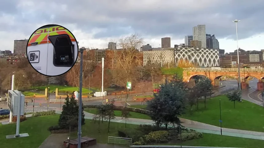
Historically, fixed speed cameras were the primary tool utilized to manage urban velocity profiles. However, statistical tracking indicated that fixed infrastructure frequently led to the “halo effect,” where drivers decelerated sharply only when approaching a known camera housing, accelerating immediately after passing it. To counter this systemic driver habit, the Camera Enforcement Unit expanded its fleet of mobile enforcement vans.
Equipped with advanced laser speed detection systems and high-definition digital imaging technology, these vehicles operate from marked and unmarked vantage points, injecting an element of unpredictability into commuter corridors.
The inclusion of community concern criteria reflects a broader institutional acknowledgment that localized road safety cannot be measured solely by fatality statistics. Intimidating or anti-social speeding along residential streets, even those without a high casualty log, significantly degrades local quality of life and discourages pedestrian transit.
By balancing core empirical data with structured public feedback, the modern enforcement framework aims to maximize compliance across all tiers of urban and suburban infrastructure.
Prediction: How This Development Can Affect Motorists and Local Residents
The sustained, high-visibility deployment of mobile speed enforcement units across Leeds is anticipated to generate distinct operational outcomes for both local motorists and regional community residents.
For motorists traversing Leeds, this targeted enforcement campaign will likely result in an immediate increase in the issuance of Notices of Intended Prosecution (NIPs) for speed limit non-compliance. Drivers caught exceeding the legal thresholds will face standard statutory penalties, including a minimum £100 fine and three penalty points added to their driving licenses.
Eligible motorists may alternatively be offered the option to attend a National Driver Offender Retraining Scheme (NDORS) speed awareness course to avoid points, which will subsequently increase demand for localized training facilities. Over the longer term, the unpredictable positioning of mobile units is predicted to suppress overall average traffic velocities across Leeds, forcing a shift toward defensive driving habits as motorists adapt to the heightened probability of encountering enforcement vans.
For local residents, particularly those residing near designated community concern sites such as Broad Lane, King Lane, and Carr Road, the visible presence of police enforcement is expected to directly mitigate anti-social road behavior.
The drop in average vehicular speeds will likely lower noise pollution levels and enhance pedestrian safety within built-up urban zones. Furthermore, regular enforcement interventions are projected to decrease the localized frequency and severity of road traffic collisions, aligning with the long-term strategic safety targets set forth by the West Yorkshire Safety Camera Partnership.